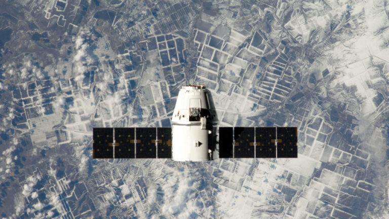
New research from a group of scientists at UC Berkeley is giving data-poor regions across the globe the power to analyze data-rich satellite imagery. The study, published in Nature Communications, introduces a machine learning model that resource-constrained organizations and researchers can use to draw out regional socioeconomic and environmental information. Being able to evaluate local��
]]>