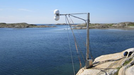
Sea levels have traditionally been measured by marks on land �C but the problem with this approach is that parts of the earth��s crust move too. A group of researchers from Chalmers University of Technology in Sweden are using GPS receivers along the coastline in combination with reflections of GPS signals that bounce off the water��s surface. NVIDIA GPUs then crunch those data signals to compute��
]]>